CC's Latest tool: Area calculator
Other tools:
Midpoint calculator
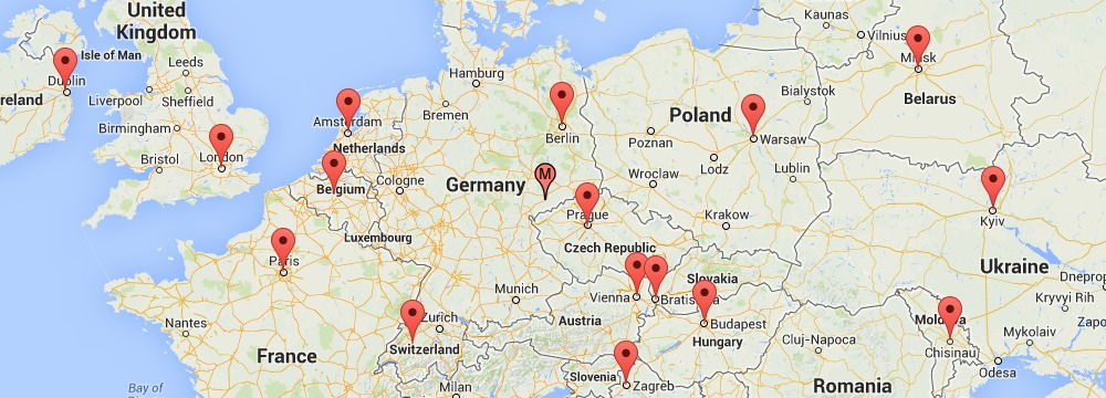
This is an analytical geometry tool to determine the exact halfway point for two or more locations using the geograhical midpoint calculation method. It is also possible to give a certain location more priority (when a location has more importance than others). This tool comes in handy when you want to meet up with friends, family or colleagues and pick a spot to limit everyone's travel distance.
Elevation Paths
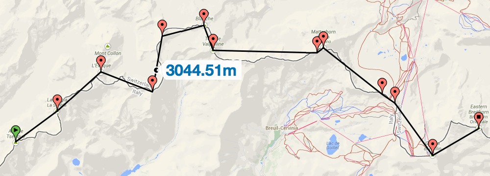
Elevation paths is a tool to explore the elevation along a route. The route can be plotted on the map while the elevation profile is visualised in a bar chart. This chart interacts with the map when the bars are hovered. In addition, the distance, altimeters and extremes are given. The tool is very helpful when exploring routes for hiking, running, climbing and mountaineering.
Location Lookup
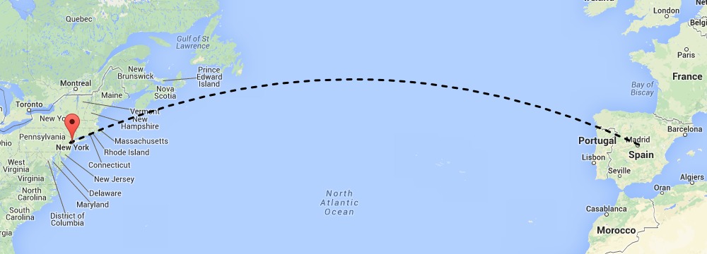
Location Lookup is the right tool to explore the globe and retrieve interesting values from selected positions. You can lookup nearest addresses by coordinates (reverse geocoding), measure distances and elevations using different units, view local time and timezone, sunrise, sunset and daylight. Also several coordinate systems are supported like Latitude / Longitude (WGS84), Degrees / Minutes / Seconds (DMS) and the Dutch 'Rijksdriehoekstelsel' (RD).
KML Viewer
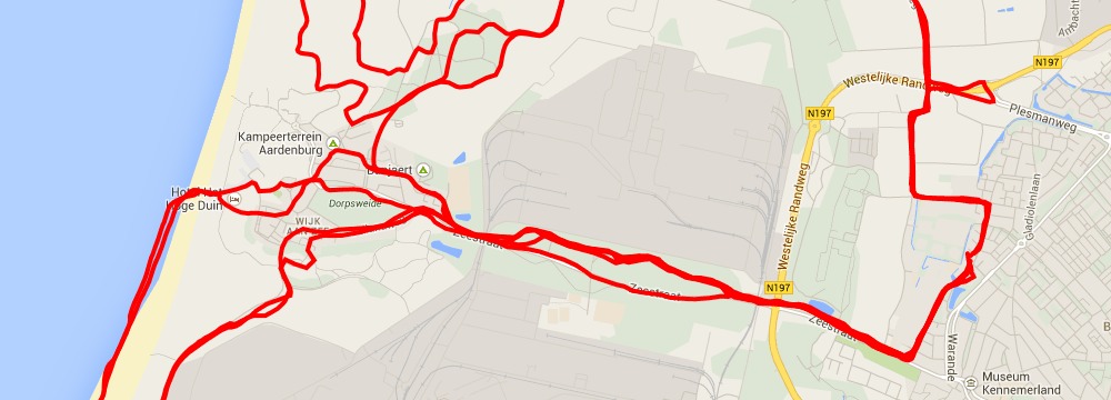
The KML viewer tool is capable to display hosted KML files on the map. The visibility of a KML file can be turned on and off to easily browse through a collection of plotted KML files.